All About Bintan
All About Bintan
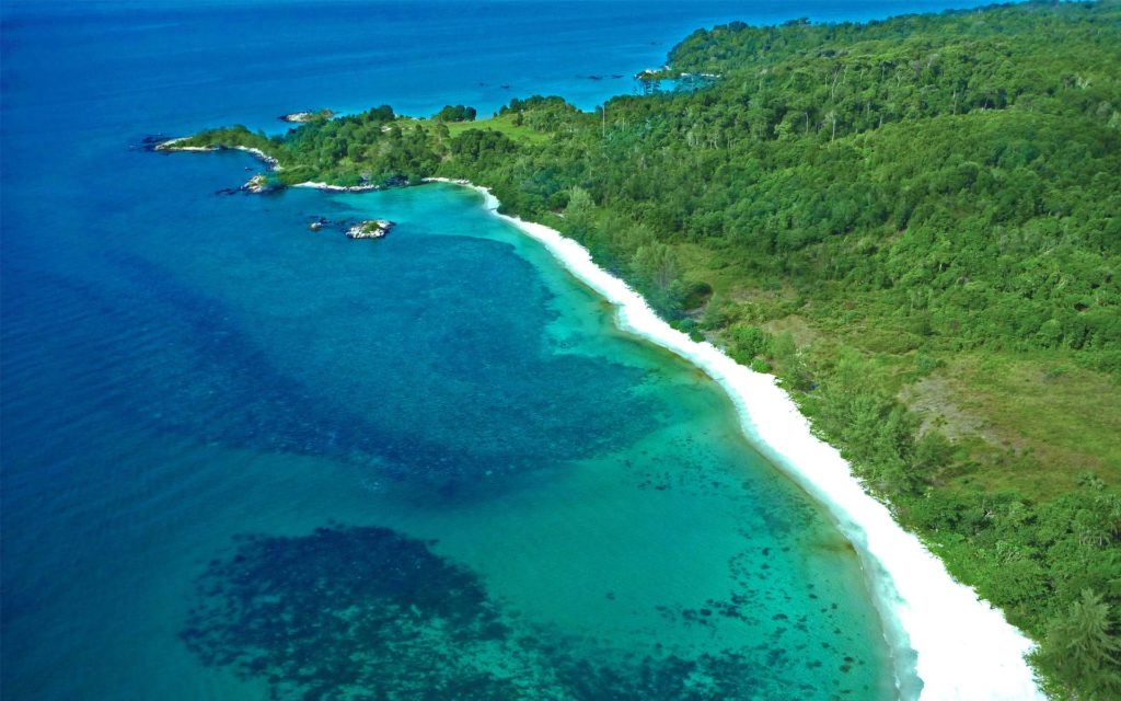
Bintan Island or natively known as Negeri Segantang Lada is an island in the Riau Archipelago of Indonesia. It has a land area of approximately 2400 square kilometres. The capital, Tanjung Pinang, lies south of the island and houses the island’s main community.
She has an early history dating back to the 3rd century when the island flourished as a trading pit-stop between China and India. Over the centuries, Bintan has come under the control of the Chinese, the British and finally the Dutch when it was declared part of the Dutch East Indies through the Anglo-Dutch Treaty of 1824.
Singapore is the closest major city to Bintan, with just a 45min ferry trip across the Singapore Strait from Tanah Merah Ferry Terminal to Bintan Resort area located Northwest of the island. It has since become a popular tourist destination with various beach-front international hotels and resorts built in the area. The Indonesian government has been actively promoting Bintan as the next up and coming tourist destination after Bali.
Geographically, Bintan is very close to the equator hence has a tropical climate throughout the year. However, she experiences the northeast monsoon from November to March and a dry southwest monsoon from June to October. Temperatures vary between 21 deg C and 32 deg C.
Bintan has a population size of roughly 400,000 with most being ethnically Malay, Bugis, Chinese and the Orang Laut. Her economy is largely dependent on tourism but also deals in areas such as agriculture and manufacturing.
Most hotels and shops accept Rupiah as the currency of trade.